
Walk an Escambia County Street
A useful Escambia County street directory search keeps ownership, occupancy, and location in separate columns. The Property Appraiser identifies the record owner and parcel. Its map places that parcel beside the next lot. LandmarkWeb shows instruments recorded under an owner's name. A Pensacola cross directory may name a listed occupant at a house number. Voter information can verify an individual registration when the researcher has the required identifying data, but the self-service lookup is not a browseable roll of a whole street.
Start with one exact address and save the tax-roll year. A street can cross Pensacola city limits into unincorporated Escambia County, so the map's municipality layer also determines whether city or county staff hold permits and code files. Work outward only after the first parcel is sound.
- Enter the location address in the Escambia County Property Appraiser search. Open the parcel and copy its owner, account number, situs, mailing address, and legal description.
- Open the same land in the parcel map. Click adjoining outlines one at a time, or use a small radius selection to collect a short street segment.
- Check city limits, zoning, and subdivision layers. Route permit and code questions to Pensacola, Century, or Escambia County based on jurisdiction.
- Search each recorded owner in LandmarkWeb. Limit results by document type and date, then confirm the legal description before accepting a deed.
- For past occupants, ask Pensacola Library for the cross directory nearest the target year. Preserve the printed house number and any abbreviation exactly.
This street-by-street sequence avoids the most common error: treating a tax mailing label as a list of everyone at the property.
Search Escambia County Parcels
The assessor search is the front door for an Escambia County address because Clerk records are indexed chiefly by owner name. It accepts several keys, and no single field is mandatory. A direct account number is strongest when known. Address searches can be widened with care if a directional or suffix prevents a match.
| Search field | Input | Best use | Format note |
|---|---|---|---|
| Location Address | Text | Find the physical parcel | Try number and street; narrow cautiously |
| Owner Name | Text | Find parcels held by a known owner | Surname first, such as Doe John |
| Account/Parcel ID | Text | Retrieve one exact parcel | Copy the identifier exactly |
| Tangible search | Text | Search business personal property | Separate from the real-property roll |
The parcel card returns more than a name. It may show situs, mailing address, legal description, subdivision, assessed values, exemptions, sales, building traits, acreage, and links to map detail. Those fields let a street directory distinguish the land from the person who receives the tax notice.
- Parcel
- A mapped tract identified by an appraisal account number.
- Situs address
- The physical location used on the tax roll.
- Mailing address
- The destination for the owner's notices, which may be elsewhere.
- Plat
- A recorded map that defines lots, blocks, and subdivision boundaries.
Map Escambia County by Street
The Property Appraiser Internet Map Service turns one address into a block view. Search the parcel, zoom until outlines are clear, and open each neighboring polygon separately. The viewer also offers radius selection, measurement, multi-account selection, and a results list. Layers cover zoning, wetlands, elevation contours, parcel dimensions, easements, subdivisions, sales, and aerial imagery. They explain land context, not who occupies a home.
The source view below shows the map used in an Escambia County street directory search.
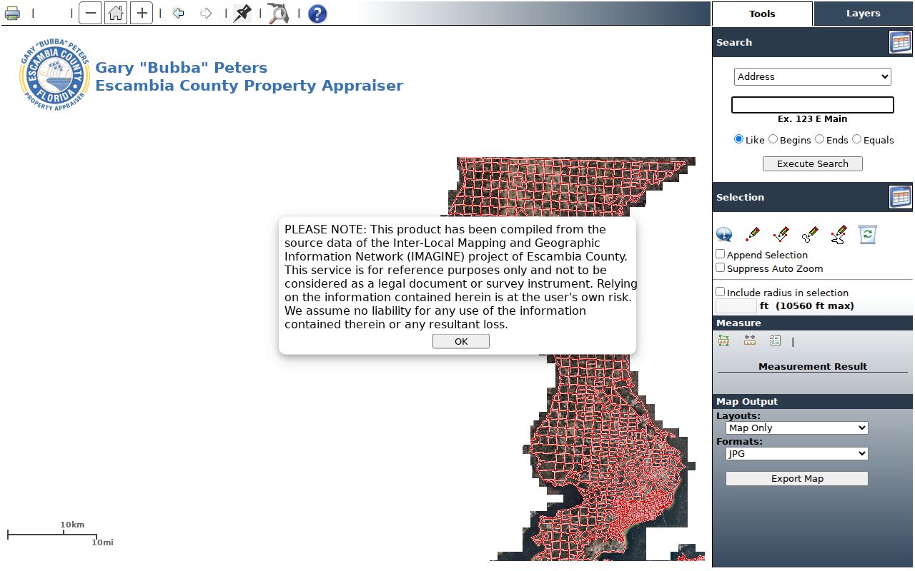
A small radius is best for a short block. The displayed maximum is 10,560 feet, but a wide selection can sweep in unrelated roads and parcels. Property Appraiser mapping is approximate and is not a boundary survey.
Note: Record the tax-roll and aerial date shown on the map because a current web view may combine sources from different vintages.
Escambia Street Directory Record Keys
Each Escambia County record set has a different key and a different limit. The strongest result comes from matching the same parcel, owner, legal description, and date across sources rather than expecting one portal to act as a complete residents directory.
| Address source | Custodian | What it adds | What it cannot prove |
|---|---|---|---|
| Tax roll | Property Appraiser | Owner, situs, mailing, parcel, legal description | All occupants |
| Parcel GIS | ESCPA and County GIS | Parcel relationships, zoning, subdivision, geography | Survey-grade boundaries or residence |
| Recorded instruments | Escambia Clerk | Transfers, liens, plats, names, and legal land text | Move dates or every household member |
| Voter records | Supervisor of Elections | Lawfully available registration fields | Everyone at one address or ballot choices |
| Permit and code files | City or county | Applicant, owner, contractor, work or case dates | Continuous occupancy |
| Cross directory | Pensacola Library | Listed occupant or subscriber by house number | Unlisted people or missing years |
Florida's voter self-lookup requires identifying information and verifies one voter. Broader voter-file access is controlled by state law, with protected records suppressed. It should never be portrayed as an open street browse.
Escambia Streets Meet Deed Names
Once the assessor supplies an owner, use the Clerk's free LandmarkWeb Official Records search. Available modes include name, document, case number, book and page, consideration, record date, instrument number, and legal description. Search variants of a name, restrict the document type to deeds when appropriate, and confirm the lot, block, or subdivision text.
A result can contain party role, document type, instrument number, record date, book and page, legal-description text, consideration, and a digitized image link. The deed itself may add execution date, witnesses, notary, and return address. None of those fields alone proves that the grantee lived at the situs.
When the online route fails, the Official Records office offers counter and mail channels at 221 Palafox Place, Suite 110, Pensacola. Call 850-595-3930. Counter hours are Monday through Thursday, 8:00 to 4:30, and Friday, 8:00 to 3:30, effective June 1, 2024. Copies are $1 per standard page, with separate fees for larger pages, certification, and searches.
Escambia Street Records Reach 1820
Escambia County is one of Florida's two original counties, created in 1821. Its historical deed-book index reaches 1820, before statehood. That is unusually deep evidence for a street directory, especially when a modern address can be tied to an old lot or land description.
The scanned index runs in seven bands from 1820 through 1982. Each separates individuals from corporations and direct from indirect entries. Direct means the grantor or seller side. Indirect means the grantee or buyer side. Use the cited deed book and page to move from an index entry to the instrument. Plat e-books help hold the same subdivision in view.
Key point. Preserve the modern address, but trace old Escambia land by legal description when house numbers or road names no longer line up.
Which Escambia Office Has It
A Pensacola mailing line does not establish City of Pensacola jurisdiction. Many addresses in Bellview, Warrington, Ferry Pass, Ensley, Beulah, and other unincorporated communities use Pensacola as the postal city. Century is a separate municipality. Check the parcel's municipality and zoning before seeking a permit, planning file, or code case.
The Escambia County GIS office assigns county addresses and manages mapping with local partners. Its public material is shown below.
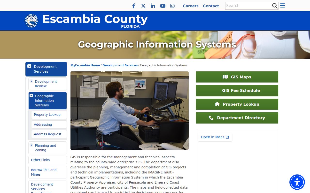
For conflicting numbers, GIS is the authoritative county route. Call 850-595-4509 or use GIS@myescambia.com. Older rural tracts may be easier to follow by section, township, range, or road-name history than by a modern house number.
Escambia Streets and Permit Trails
Inside Pensacola, the MyGovernmentOnline permit system accepts an address and returns projects; its map can also use an address or permit number. Result popups include status, permit type, and a brief description. The mapped current series begins with the November 2019 cutover, so an empty result can mean the record sits in a legacy channel.
The permit source appears below as one part of the Escambia County street directory evidence chain.
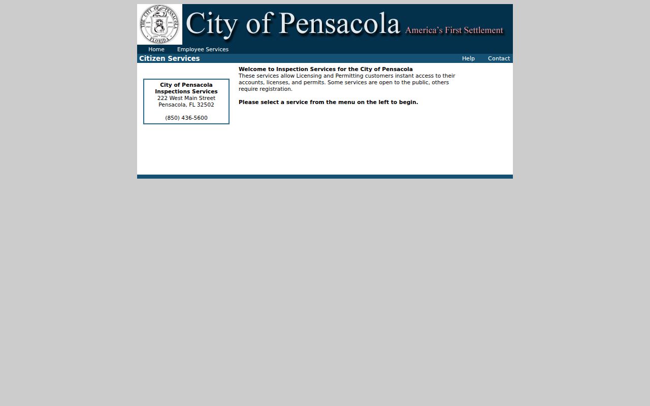
Permit files may name an owner, applicant, or contractor and date work at the property. They do not establish every resident. Inspection Services is at 222 W. Main Street and can be reached at 850-436-5600. For unincorporated land, use county Development Services; Chapter 119 requests are the fallback for files not exposed online.
Past Escambia Residents by Address
West Florida Public Libraries keeps city, telephone, and cross directories at Pensacola Library, 239 N. Spring Street. A cross directory reverses the usual name index: street, house number, then the listed occupant or subscriber. That makes it the best library source when the question begins with a house rather than a surname.
Ask staff or West Florida Genealogical Society volunteers which years exist on the shelf or microfilm. Record the volume's publisher, year, house number, and abbreviation key. Some households had no listed telephone, and no surviving online year list proves an annual run. The collections themselves are covered more fully in the Escambia County city directory.
Note: A missing cross-directory entry may reflect an unlisted line, an omitted household, a move, or a gap in the surviving volumes.
Limits of Escambia Street Records
No official Escambia County street directory lists every person at every home. The assessor and deeds identify legal interests in land. Cross directories omit unlisted people and missing years. Permit files identify parties to work, not continuous residence. DMV address data is restricted by federal law, and utility or delivery data should not be treated as an open household roll.
Homestead status plus matching mailing and situs addresses is evidence consistent with owner occupancy, but it is not proof of a complete household. An out-of-area mailing address can point to an absentee owner. It says nothing conclusive about who stays at the property.
Lawful use. Use Escambia County address records for lawful personal research, civic review, family history, or property questions. Never use them to stalk, threaten, harass, or harm a person.